You can't visit the neighbourhood. So what do you actually know about it?
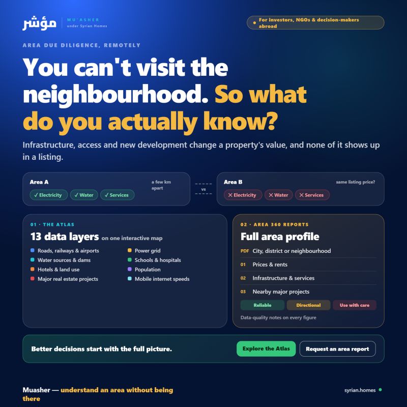
In Syria, two areas a few kilometres apart can be very different: one has reliable electricity, water and services, the other doesn't. Infrastructure, access and new development change the value of a property, and none of it shows up in a listing.
For investors, NGOs and anyone deciding from abroad, مؤشر offers two ways to understand an area without being there:
- The Atlas: an interactive map with 13 data layers, including the road network, railways and airports; the power grid; water sources and dams; schools and hospitals; hotels; land use; population; major real estate projects; and mobile internet speeds.
- Area 360 reports: a full profile of a city, district or neighbourhood, delivered as a professional PDF. It covers prices and rents, infrastructure, services, nearby major projects and data-quality notes, so you know exactly how far to trust each figure.
Better decisions start with seeing the full picture.
👉 Explore the Atlas, or contact us for a custom area report