Neighbourhood-level intelligence
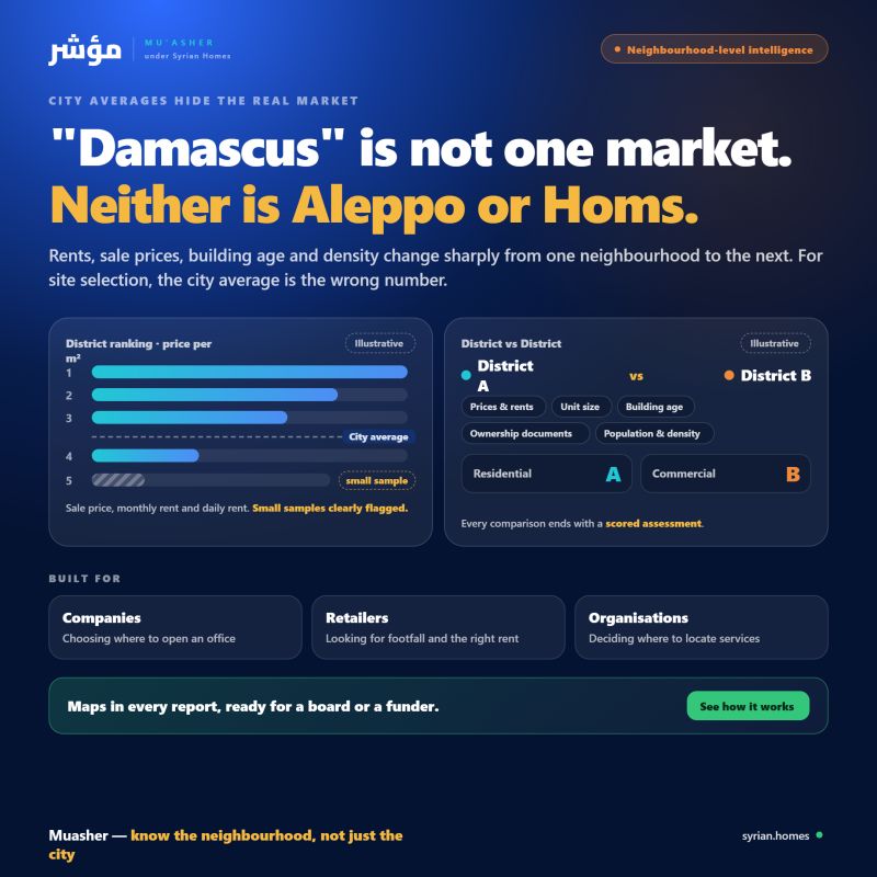
"Damascus" is not one market. Neither is Aleppo or Homs.
City-wide averages hide huge differences. Rents, sale prices, building age and population density can change sharply from one neighbourhood to the next. For a company choosing where to open an office, a retailer looking for footfall, or an organisation deciding where to locate services, the city average is the wrong number.
مؤشر works at the neighbourhood level:
- District ranking. Rank every neighbourhood in a city by sale price per m², monthly rent and daily rent, with small samples clearly flagged.
- District vs District. Compare two neighbourhoods side by side on prices, rents, typical unit size, building age, ownership documents, population and density. Each comparison ends with a scored assessment of which one suits residential use and which suits commercial use.
- Maps in every report. Each analysis comes with a map of the area, so findings are easy to present to a board or a funder.
Site selection, market entry and spatial research all start with knowing the neighbourhood, not just the city.
👉 See how it works