We’re excited to introduce the Geospatial Maps feature on the Syrian Homes platform — a…
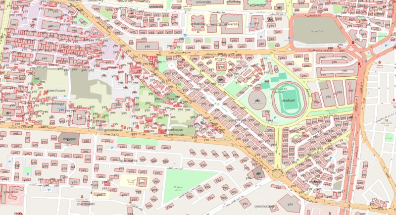
We’re excited to introduce the Geospatial Maps feature on the Syrian Homes platform — a new way to explore the Syrian real estate market through interactive spatial data.
Our geospatial maps allow users to visualize real estate price dynamics across Syria using clear, data-driven insights. The maps currently provide:
- Governorate-level maps showing market trends across Syria
- Administrative center maps covering 60+ administrative centers
- Average price per square meter for each location
- Filtering by property type
- Dynamic filters to select year and month for time-based market analysis
These tools help investors, researchers, brokers, and market observers better understand spatial patterns in real estate prices and track how the market evolves over time.
Our goal is to continue building advanced real estate data tools for the Syrian market, combining reliable datasets with intuitive geospatial visualization.
Explore the platform: